August 10th 2026 severe weather outbreak
During the afternoon hours on August 10th, 2026, a line of severe thunderstorms moved across the state with damaging to destructive winds and even a tornado. Widespread tree and power line damage occured as a result of this severe weather outbreak with hundreds of damage reports from straight line winds. While not technically a derecho, the impact and wind speeds certainly felt like one.

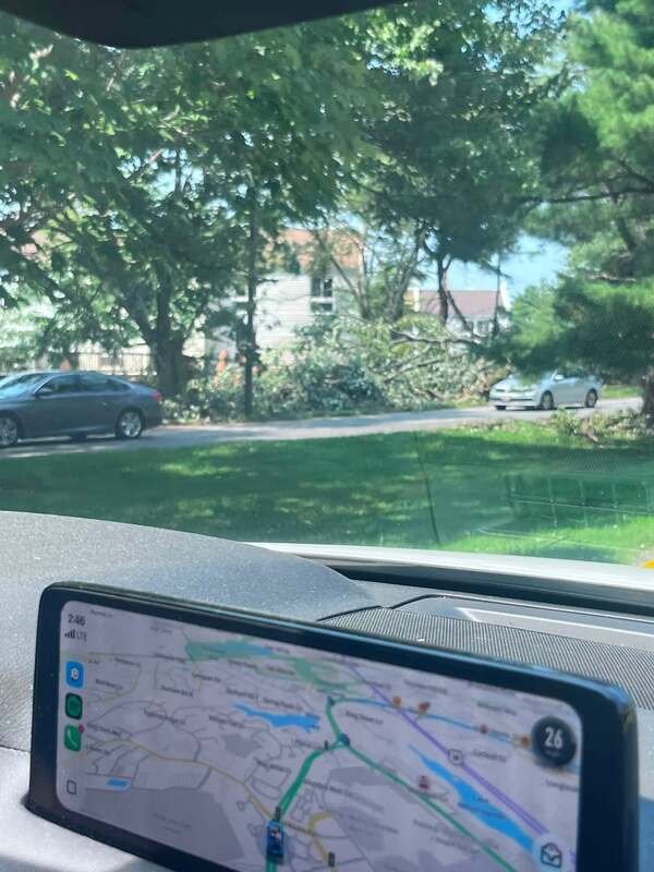


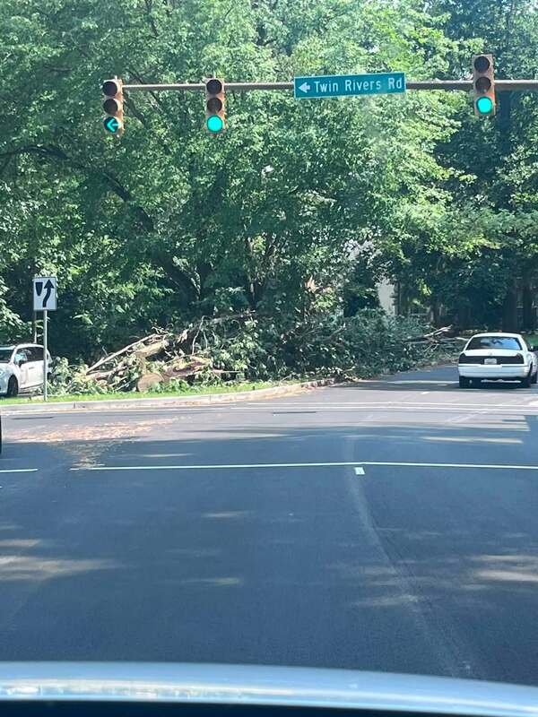
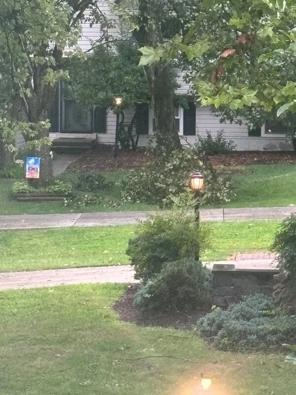
Radar Progression
Initially, isolated supercell thunderstorms developed over Washington county, tracking east into northern Frederick county. These then merged with a developing squall line, resulting in one robust line of severe storms.
As storms tracked east, they further intensified, with radar velocities of 50-60kts (60-70mph) evident, indicating increasing threat of widespread damaging winds. By the time they reached eastern Frederick county, they were already producing 50-60mph winds. This continued into Carroll, northwest Montgomery, and western Howard county where winds reached 75mph in some places. Severe thunderstorm warnings were upgraded to a considerable tag at this time.
By 4:20pm, severe storms were lined up from just west of Baltimore down through Columbia and Rockville, containing widespread 40-60mph wind gusts, with embedded microbursts with winds in excess of 80mph. In areas with these extreme winds, severe thunderstorm warnings were upgraded to the highest level with a destructive tag, setting off WEA alerts on cellphones. By just after 4:45pm, the storms were right over I-95, and are now producing a tornado in Dundalk, with torrential rain and incredible amounts of lightning across the entire I-95 corridor.
Finally, storms crossed the bay just before 6pm, ending the severe weather risk for Central Maryland.
The Pre Storm Environment
The airmass ahead of the thunderstorms was ripe for severe weather with an ample combination of wind shear, instability, and lift. Surface based CAPE (convective available potential energy) ranged from 2,000-3,000 j/kg according to the archived SPC Mesoanalysis, which is more than sufficient for severe thunderstorms. Additionally, wind shear of 30-40kts (locally higher) was present, which is higher than normal for the summer. This allowed storms to rapidly organize and maintain their intensity longer than most summer thunderstorms. Pressure falls during the mid afternoon in combo with terrain circulations allowed steady thunderstorm growth to the west, before moving into the very favorable severe weather environment over central Maryland.
Damage Reports
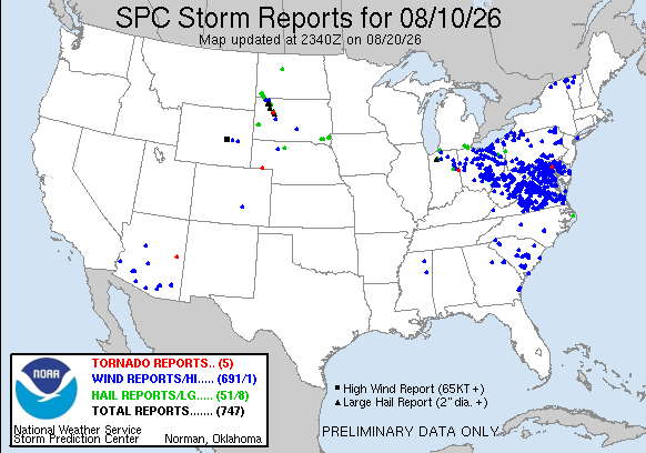
Across the lower 48, nearly 700 reports of wind damage were received. The vast majority of those were centered over the Mid Atlantic states as this line of severe storms moved through. Widespread wind gusts of 50-60mph and isolated gusts of 70-90mph accompanied these storms. The storms downed countless trees and power lines resulting in thousands of power outages. Many areas hit the hardest in southern Carroll county into Howard county still have trees down more than a week later.
Howard and Carroll County Microbursts
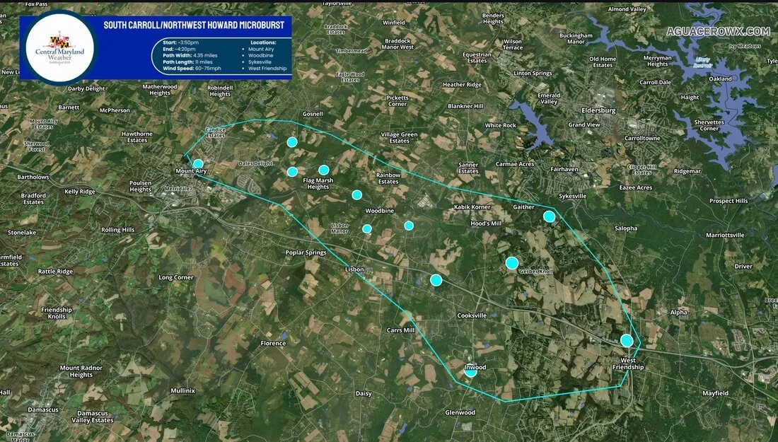
In southern Carroll and northwestern Howard counties, a microburst occurred with winds of 60-75mph between 3:50pm and 4:20pm. The microburst was approximately 4.35 miles wide and resulted in an 11 mile long swath of downed trees and large tree limbs. Some fell onto houses, power lines, and blocked many roadways. The most concentrated area of damage seems to be from Woodbine/Flag Marsh down through Lisbon and southwest portions of Sykesville. The blue markers indicate where damage consistent with winds in the 60-75mph range occurred.
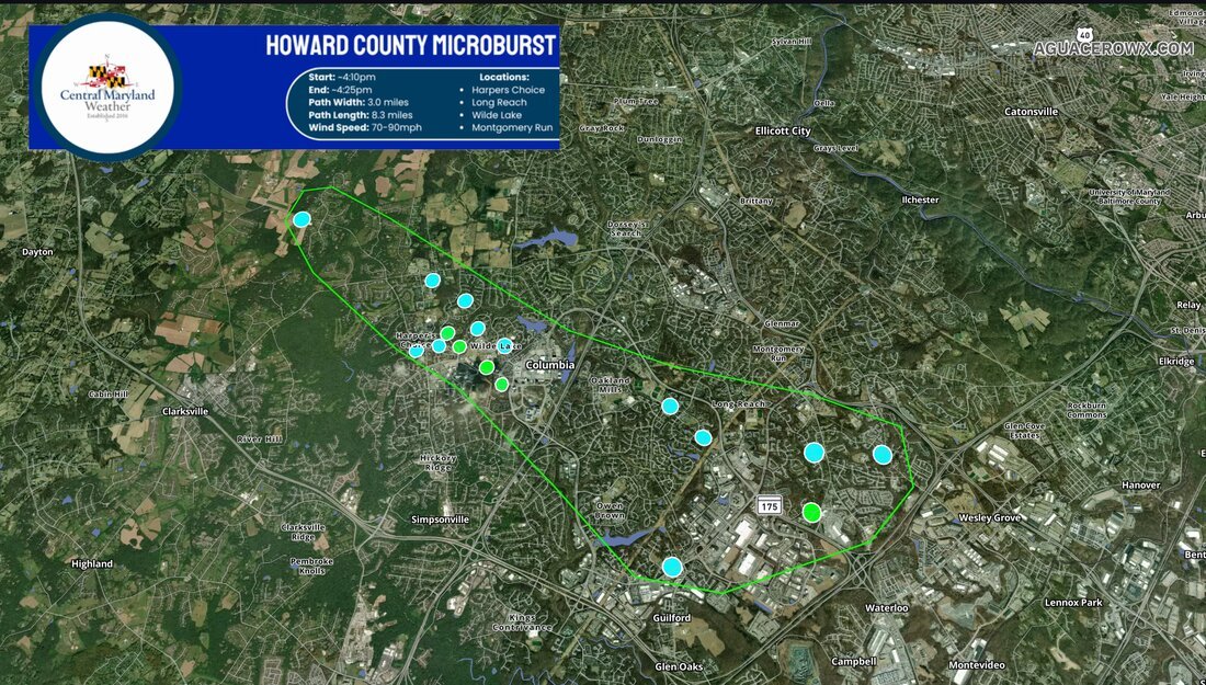
In Columbia, a destructive microburst with maximum winds of 70-90mph occurred along a 3 mile wide and 8 mile long swath from Harper’s Choice to Long Reach. Dozens of large mature trees were snapped and uprooted and many large tree limbs were broken off trees as well. Many roads were closed, with some trees falling onto houses. Some of the trees in Harpers Choice were more than 2 feet in diameter and more than 50 years old. The blue markers indicate where damage consistent with winds in the 60-75mph range occurred, and the green markers are where damage consistent with 76-90mph winds occurred.
Dundalk Tornado
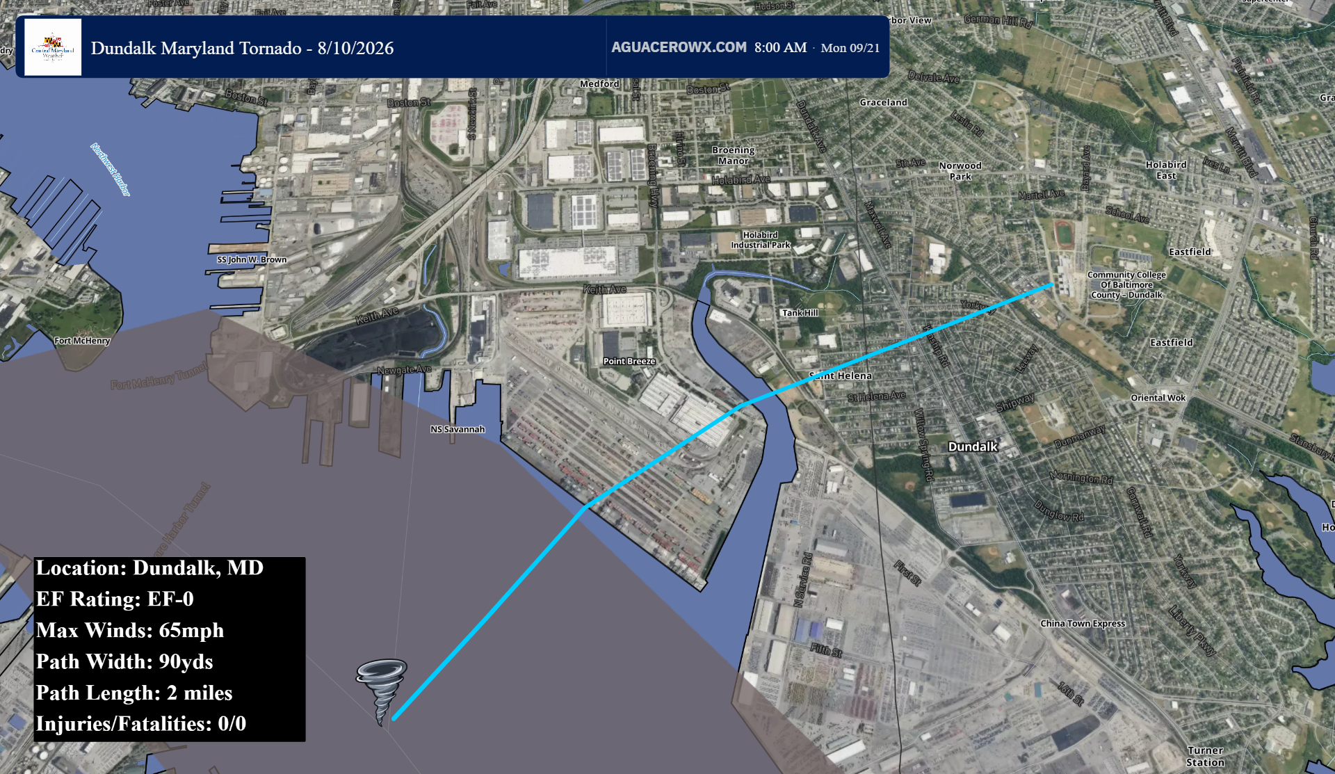
The National Weather Service conducted a storm survey in Baltimore City as well as Dundalk, and confirmed that an EF0 tornado touched down at approximately 4:39pm. The tornado was on the ground for 2 miles, lifting at 4:45pm. It was 90 yards wide and had maximum winds of 65MPH. The tornado snapped and uprooted hardwood trees, downed light poles, displaced an SUV, and destroyed an awning. There were no reported injuries or fatalities associated with this tornado.
